HH&F Geospatial & Data Solutions
Precision Mapping, Intelligent Insights
Specializing in geospatial analysis, geographic information systems, and database management
Portfolio of Work

Case study 1
Crime Dot-density Map for City of Chicago
Client: City of Chicago, University of New York at Buffalo via Chris Pappas-Ford, Geospatial Manager
Location: Remote
Scope of Work:
- Engineered advanced geospatial crime statistics maps for the city of Chicago, integrating multi-dimensional datasets.
- Analyzed and synthesized census demographics, meteorological data, and reported crime incidents to produce spatially precise dot density maps.
- Systematically classified criminal activities into violent and non-violent categories and further disaggregated by typology, such as arson, battery, and theft.
- Conducted quantitative spatial analysis to identify correlations between increased violent crime rates and warmer weather patterns in low-income areas
Outcome:
Developed probabilistic models leveraging integrated crime, climate, and population data to predict crime occurrence, temporal distributions, and spatial risk zones.

Case study 2
Janus Project – Global Geospatial Mapping Initiative
Client: NV5, Maxar, Wiser via Chris Pappas-Ford, Geospatial Manager
Location: Remote
Scope of Work:
- Conducted a comprehensive spatial analysis of Earth's surface, integrating multi-modal transportation networks and terrain classifications.
- Applied high-resolution mosaic ortho-imagery to perform land cover classification, distinguishing ecological and anthropogenic features such as evergreen and deciduous forests, barren landscapes, and urban residential zones.
- Geocoded and digitized transportation corridors, including pedestrian pathways, arterial roadways, subterranean and elevated transit systems, and multi-modal infrastructure for precise spatial representation.
- Utilized advanced 3D geospatial modeling environments to process, manipulate, and refine LiDAR datasets, enabling high-fidelity terrain reconstruction and topographic analysis.
Outcome:
Created a detailed 3D map of the planet's surface using LiDAR technology, which focused on documenting Earth's current state to aid conservation, research, and future planning. Along with assisting with the Seabed 2030 Project, which seeks to map the entire ocean floor by 2030, using crowd-sourced sonar data to understand underwater topography and currents.
Case study 3
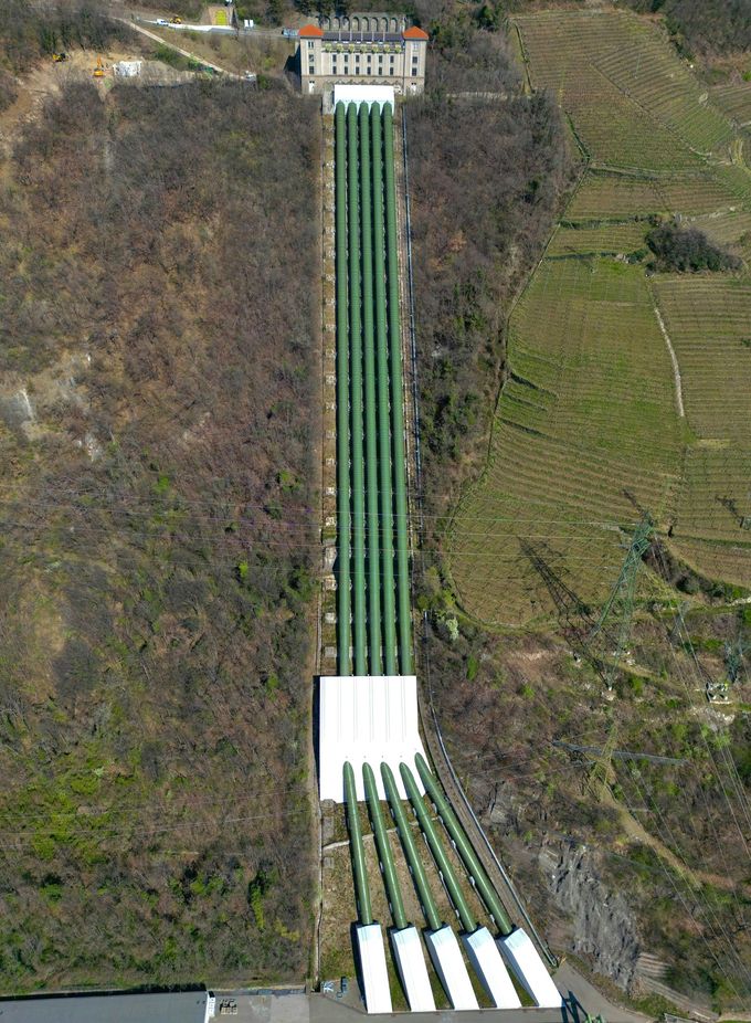
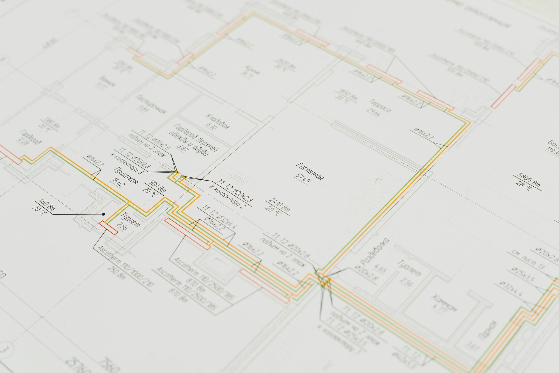
Repair Underground Gas Network Project
Client: Texas Gas via Chris Pappas-Ford, Geospatial Manager
Location: Texas
Scope of Work:
- Digitized and repaired underground gas pipeline networks across Texas, with a focal study on El Paso for spatial accuracy and infrastructure resilience.
- Coordinated with field teams to integrate real-time data updates into geospatial models, enhancing dynamic workflow precision.
- Conducted detailed analysis of blueprints and as-built documentation to determine pipeline geometry, spatial location, and material characteristics for optimized asset management.
- Developed a comprehensive strategy for pipeline service optimization and network management, employing predictive geospatial methodologies to mitigate disruptions caused by winter freeze events in Texas.
Outcome:
Enhanced the underground gas pipeline network across Texas by repairing infrastructure and resolving discrepancies in pipeline data, including shell type, geometry, and location. Streamlined response processes to improve efficiency, reducing resolution times for One Gas customers experiencing utility-related issues. Created plans for upgrading and replacing old or insufficient gas lines with newer materials that met current standards for safety and capacity. This included extending the pipelines to accommodate new appliances, increasing their diameter for higher gas flow, or upgrading materials for longevity and reduced risk of leaks.
About Us
By choosing HH&F Geospatial & Data Solutions, clients benefit from a blend of technological proficiency, ecological expertise, and regional insight, ensuring informed decision-making and sustainable land management. We are passionate about helping clients make informed, sustainable decisions.
We're more than a mapping company—we’re a team of trusted specialists who understand this region, the science behind healthy forests, and what it takes to be a good steward of the land.
Our Core Services

Parcel Mapping & Tax Digest Engineering
Scope Development of topologically enforced cadastral datasets for tax digest preparation, ownership validation, and legal boundary reconciliation.
Technical Components
- Geodatabase schema design with topology rules (must not overlap, must be covered by boundary)
- Automated parcel lineage tracking via Python-based split/merge detection
- Integration with assessor databases using spatial joins and fuzzy matching algorithms
- Annual change detection using temporal geospatial indexing
- Metadata compliance with FGDC and state-level standards
- Geodatabase schema design with topology rules (must not overlap, must be covered by boundary)

2. AutoCAD to ArcGIS Pro Conversion & Schema Normalization
Scope Transformation of legacy CAD datasets into normalized GIS feature classes with spatial integrity and attribute schema alignment.
Technical Components
- CAD layer parsing and georeferencing using control points and affine transformations
- Topology correction via ArcPy routines (e.g., snapping, planar enforcement)
- Domain creation for coded values and subtypes
- Feature class normalization using ETL pipelines (ModelBuilder or Python)
- QA reports with geometry error counts, orphan features, and schema mismatches
- CAD layer parsing and georeferencing using control points and affine transformations

3. Interactive Dashboards & Spatial QA Analytics
Scope Development of real-time dashboards for spatial QA/QC, project oversight, and stakeholder reporting.
Technical Components
- ArcGIS Dashboards with embedded SQL expressions and Arcade logic
- QA heatmaps generated from error frequency and spatial clustering (DBSCAN)
- KPI integration: percent complete, error resolution rate, reviewer throughput
- Role-based access via ArcGIS Enterprise identity management
- Time-enabled layers for temporal analysis of edits and corrections
- ArcGIS Dashboards with embedded SQL expressions and Arcade logic

4. Field Data Collection & Sensor Integration
Scope Deployment of mobile GIS applications for field validation, asset inspection, and sensor-based data acquisition.
Technical Components
- Survey123 forms with conditional logic and repeat records for nested data
- Field Maps integration with GNSS receivers for sub-meter accuracy
- Offline map packages (TPK, VTPK) for disconnected environments
- Python-based sync scripts for versioned data reconciliation
- Sensor integration: temperature, moisture, and canopy cover via IoT APIs
- Survey123 forms with conditional logic and repeat records for nested data

5. Drone, LiDAR & Multispectral Remote Sensing
Scope Acquisition and processing of high-resolution imagery and point cloud data for terrain modeling, vegetation analysis, and infrastructure assessment.
Technical Components
- LiDAR classification using ASPRS standards (ground, vegetation, buildings)
- DSM/DTM generation via point cloud interpolation and hydrological enforcement
- Multispectral analysis using NDVI, SAVI, and thermal indices
- Photogrammetric 3D modeling using Structure from Motion (SfM)
- Change detection algorithms for erosion, canopy loss, and urban expansion
- LiDAR classification using ASPRS standards (ground, vegetation, buildings)

6. Environmental & Forestry Spatial Modeling
Scope Spatial analysis for forest inventory, fire risk modeling, and habitat suitability assessment.
Technical Components
- Timber stand delineation using object-based image analysis (OBIA)
- Burn history mapping via MODIS and Landsat time series
- Fire risk modeling using FARSITE and Burn-P3 simulations
- Habitat corridor modeling using least-cost path and resistance surfaces
- Biomass estimation using LiDAR-derived canopy metrics and allometric equations
- Timber stand delineation using object-based image analysis (OBIA)

7. Infrastructure & Utility Network Mapping
Scope Digitization and spatial analysis of utility networks for service optimization, risk mitigation, and inspection workflows.
Technical Components
- Utility network schema implementation (ArcGIS Utility Network model)
- Service area modeling using network analyst and impedance surfaces
- Risk zone overlays based on proximity to hazards and asset age
- Field inspection integration with status tracking and condition scoring
- Outage simulation using network tracing and failure propagation models
- Utility network schema implementation (ArcGIS Utility Network model)
8. Regulatory Documentation & Spatial Compliance Assets
Scope Production of audit-ready documentation and spatial deliverables for regulated industries and public sector contracts.
Technical Components
- SOPs for version control, QA/QC, and data lineage
- Onboarding guides for role-specific GIS workflows
- RFP response templates with embedded maps and deliverable matrices
- Metadata packages conforming to ISO 19115 and FGDC standards
- Audit logs with spatial edit history and reviewer annotations
- SOPs for version control, QA/QC, and data lineage

9. Scientific Communication & Geospatial Visualization
Scope Translation of complex spatial analyses into decision-ready visualizations and stakeholder-facing content.
Technical Components
- StoryMaps with embedded charts, maps, and narrative text
- Infographics generated from spatial statistics and model outputs
- Technical documentation with reproducible workflows and citations
- Executive dashboards with simplified metrics and visual summaries
- Custom map layouts with branding, scale bars, and annotation layers
- StoryMaps with embedded charts, maps, and narrative text

10. Python Automation & Custom Editing Tools
Scope Development of modular Python scripts and ArcGIS tools for automated editing, validation, and reporting.
Technical Components
- ArcPy scripts for batch digitization, attribute population, and error detection
- Custom toolboxes with parameterized inputs and logging
- Automated PDF/HTML report generation from spatial data
- Version-controlled editing environments using branch versioning
- Integration with Git for script versioning and collaborative development
- ArcPy scripts for batch digitization, attribute population, and error detection
Ready to partner with us?
Connect with our team to learn how we can help you navigate the future of ecosystem markets.
Contact Us
We will get back to you as soon as possible.
Please try again later.